“There were no fish kills observed immediately after the fires. We do not anticipate any short or long-term population impacts on the trout streams in the Great Smoky Mountains National Park.”
says Matt Kulp, Supervisory Fishery Biologist for Great Smoky Mountains National Park.
I had just picked up the kids from school on Monday afternoon, November 28th when my husband Ian called and asked “Have you heard any news this afternoon? The winds are carrying the embers from the Chimneys fire and spreading across the park.” The fire had started five days earlier near the summit of the Chimneys, an iconic pair of rocky peaks in the Great Smoky Mountains National Park. Like most previous wildfires in the Smokies, it smoldered for days. The relatively remote location, well away from any roads or buildings, made it seem relatively harmless compared to numerous other wildfires also burning in East Tennessee and western North Carolina at the time.
East Tennessee and the Smoky Mountains were in the grip of a severe drought and an approaching storm front seemed to offer some relief. Unfortunately, that weather system also brought hurricane force winds, with gusts over 80 mph in the mountains. The wind fanned the flames which quickly turned into an inferno. Even worse, there was no way for aircraft to fight the fire from the air because of the strong winds and mountainous terrain. The crisis only deepened as the wind carried burning embers across deep valleys and spread the fire to neighboring peaks and ridges.
About fifteen miles away from the fire, the wind battered our home in Townsend, where it felt like the roof might blow off! I was alarmed and saddened that our beautiful Smoky Mountains were in danger. Only the day before I had been out guiding a section of Lynn Camp Prong. As darkness fell we could see the glow from the fires as it backlit the mountains a few miles from our home. An eerie orange-red glare revealed billowing clouds of smoke rising from the mountains. Gusting winds had brought numerous trees down and knocked out our electricity just after dinner time, so our only way of checking news was to text friends and keep an eye on Twitter and Facebook.
Local news reporters breathlessly reported the mandatory evacuation of the national park and city of Gatlinburg; the gravity of the situation started to truly sink in. Wildfires had been popping up in the Southern Appalachians for about a month. A substantial one, (outside the national park) had burned between our home and our daughter’s school. That was the biggest we had ever seen, and it was a spectacle to watch National Guard Blackhawk helicopters dipping buckets into the Little River, then fly up along Chilhowee Mountain to douse the flames. A number of homes and an elementary school were threatened during that fire, but all escaped damage and it was eventually brought under control. Now a much larger fire had traveled with astonishing speed and the largest gateway town to the nation’s most visited national park was on fire. I lay awake in bed all night and watched out my window, fearing the wind might change direction and bring the flames our way. It was similar to the nights when our first child had a bad cough as an infant.
Just as every rattling wheeze my daughter made woke me years ago, now every pop or crack of the roof or trees twisting in the wind kept me up, laying there with my restless thoughts.
Ironically, the storm that signaled the end of the severe drought had spread a literal firestorm of destruction. The city of Gatlinburg was under a mandatory evacuation for days even after the fire was out, and only after several days had passed could residents return to see what had become of their homes and businesses. Fallen trees blocked roads and fire damage kept a large portion of Great Smoky Mountains National Park closed for several days.
Even those areas that had not been affected by the fires were closed, as all park personnel were directed to the hardest hit areas. The park officially reopened to the public on Friday, December 9, in conjunction with the reopening of the city of Gatlinburg.
As soon as we got word that the park had reopened, we drove in, braced for the worst. Hundreds of homes and businesses had burned in Gatlinburg and those were the images shown on the news.
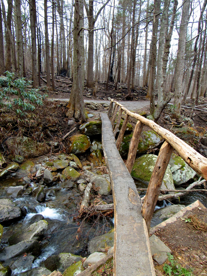
It was awful to think of our friends who lived and worked there and we shuddered to think what we might find when we went to see the streams where we guide for a living.
We went into the park from the Townsend entrance and drove along Little River Road. Little River was not damaged as the fires did not burn along that watershed. As we passed the Sugarlands Visitor Center and park headquarters, we took a right turn up towards some of the trout streams near the Chimney Tops. It wasn’t long before we saw some trees with scorched bark and blackened ground where leaf litter had burned.
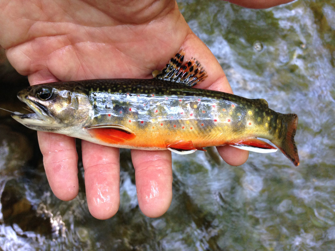
To our surprise, most of the trees in the forest were still standing and only slightly scorched here and there. It was obvious how quickly the fire moved through the forest, as burned bark only extended a few feet from the ground on the few trees showing signs of fire.
The forest was a random mosaic of untouched forest and burned areas.
On one side of the road, all the underbrush and leaves were burned away and only a few charred logs remained on the ground. On the other side of the road, verdant squishy moss, green rhododendron and thick leaf litter showed no signs of fire.
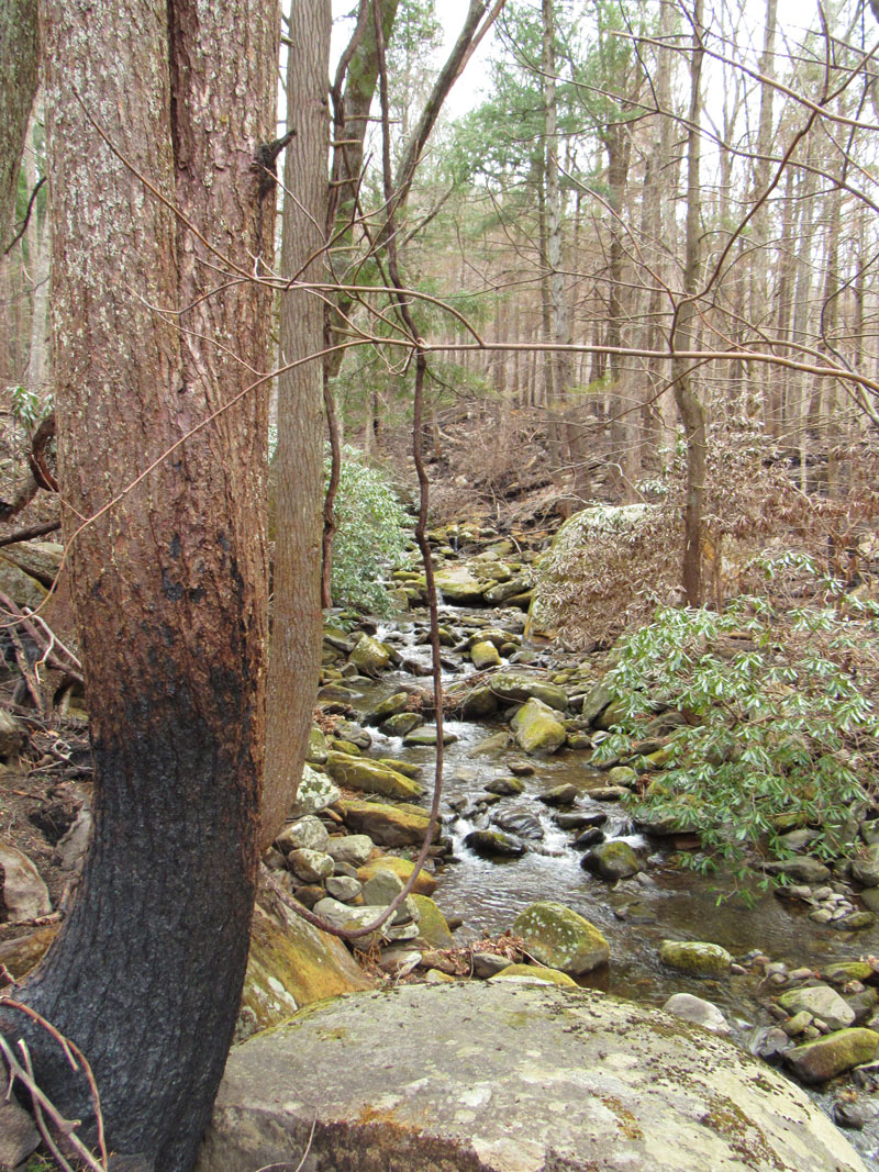
The damage inside the park was in countless small areas and the fire seemed to skip around. You could imagine the embers flying and landing in one place and not others. High finger ridges projecting off the slopes of Mount LeConte and Bullhead showed the most fire damage. Those are among the few spots in the park where fire damage was intense.
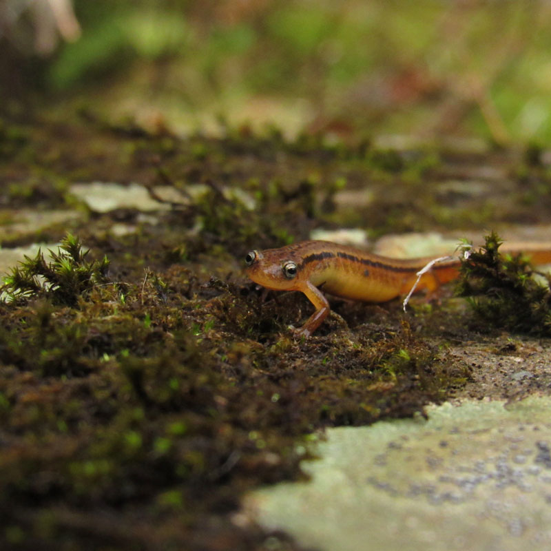
A few weeks later we returned to fish the West Prong of the Little Pigeon River. As we approached the water, on an unusually warm winter day, I rigged my rod with a dropper. The water was crystal clear. I fished the slow steady pools reminding myself it is winter and the fish are not as active as in the warmer months. It was a mental exercise not to panic about the fish population if it was a slow day. On my first drift, I had a strike! After a few more drifts, a follow on my dry fly that suspended my dropper.
Then a hook up!
Boulders along the river still have big soft matts of moss along the riverbanks and the rhododendron that hang over the edges of the water are still very green and unharmed. A good deal of the ground is charred black, but most of the trees and rhododendrons are either untouched or have minimal damage. Some of the rhododendrons have wilted leaves close to the ground but higher limbs show live foliage, proof the evergreen shrubs continue to survive.
I continued upstream and continued to catch rainbow trout all along the way. “Given most (98.5%) of the burn severity within the park was low to moderate, and the fires occurred outside of the growing season when most herbaceous plants were dormant, vegetation assessments indicate limited impacts to trees and herbaceous cover. Duff layers, root mats and seed banks in the low to moderate burn areas are mostly intact. Vegetation in the low burn areas showed little impact while canopy vegetation in the moderate burn areas was mixed with some consumed and some not.” said Matt Kulp.
When we interviewed Matt about fish populations being affected by the fire damage he said “Within the 55 miles of affected streams, there are 3.6 miles of brook trout populations, including 1.6 miles of restored water on Leconte Creek within the burn area. Most of the non-game species spawn during the summer months. Brook trout spawn in the fall, (October) and rainbow in the spring, (February) and the fire occurred on November 28. Therefore, I don’t anticipate any impacts to trout spawning.”
The roadside and riverbanks along the West Prong of Little Pigeon show the most damage. Walking the trail we saw that the soil was firm and almost all the trees are still standing. The trees that are not standing were more damaged by the wind than the fires, as we saw several down trees that showed little to no sign of burn. Park biologists are working with a university professor to model the short and long term effects of the fire on soils and stream chemistry within the watersheds affected by the fire. Matt Kulp said “We do not anticipate short-term negative effects on the aquatic communities within the affected watersheds. Model results will provide better insights into the soil and stream chemistry changes that may occur.”
The trailhead to the Chimney Tops hiking trail is still closed due to trail damage of the fires. From the road, you can see the rivers and all the foliage along the river banks. The area of the national park that was hit hardest by the fires is very steep and rocky; the trout streams in those areas are in a steep gorge between the mountains. That said, the fires jumped along the ridges and burned the tops of the mountains near the Chimney Tops.
In reports from the Great Smoky Mountains National Park, only 2% of the 522,000 acre park burned.
We’ve spent quality time walking, driving and fishing the burned areas in the Great Smoky Mountains National Park. We’ve also spent time reading reports, interviewing the fisheries biologists and talking to park officials about the fires. A B.A.E.R. (Burn Area Emergency Response) team came to the Smokies to evaluate the damage.
Although the report has not been made public yet, we are told they have rated most of the damage inside the park as low to moderate.
GSM Fisheries crew has been placing monitors in the streams to check for any indication of change in the water quality. We are happy to report, that to date, all the monitors are recording normal water quality. Matt Kulp, GSM Supervisory Fishery Biologist says “sediment monitoring devices placed in the West Prong Little Pigeon soon after the fire have not shown any significant increases in sediment, (turbidity) to date, even during storm events. Water quality sampling data collected during three successive storm events after the fire indicate stream chemistry within normal ranges and with no significant declines in pH or toxic metals. There were no fish kills observed immediately after the fire. Given water chemistry and sediment, (turbidity) data from streams within the fire perimeter have been within normal ranges to date, we do not anticipate any short or long-term fish population impacts.”
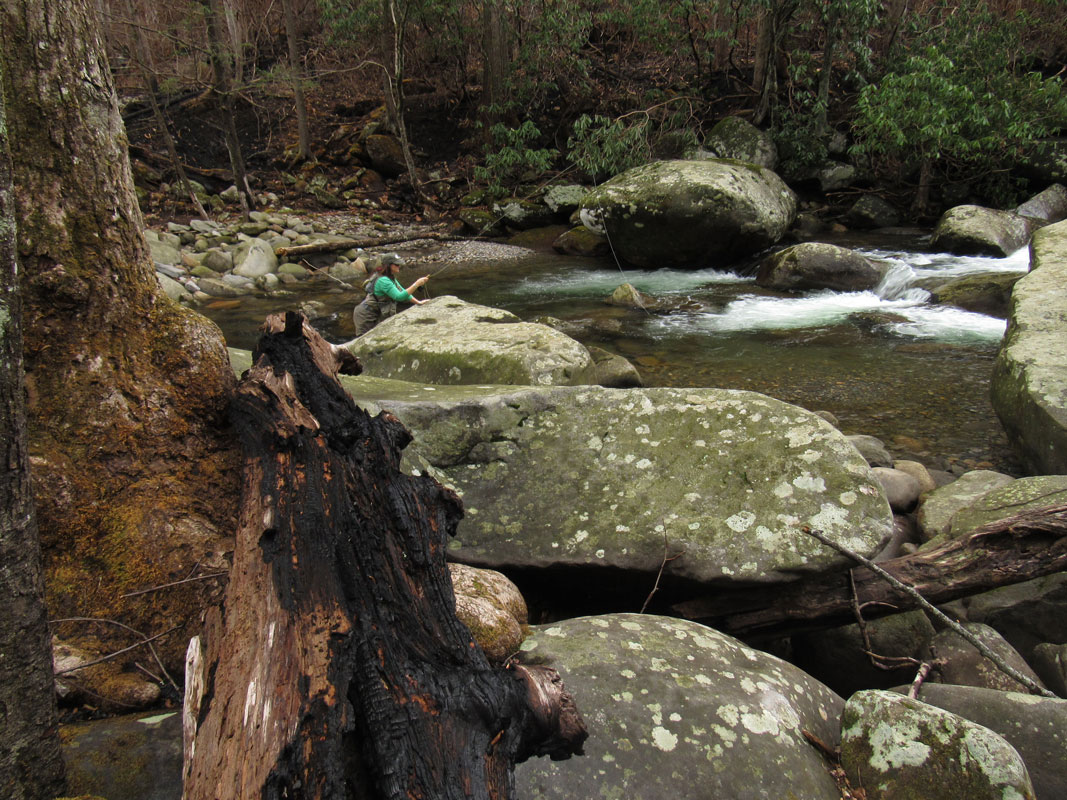
We are hopeful that the burn areas will recover quickly with the coming of spring. Come see the Smoky Mountains, and come fishing here! The majestic mountains and lush forests are still standing. The trout are still here. Our wild trout are true survivors of all that nature throws their way. The Great Smoky Mountains are resilient to what nature sends its way. The spring wildflowers and mushrooms should be in full bloom and the bugs will be moving as spring approaches. We are encouraged by the data and thankful that the trout streams have survived the fires unharmed.
We look forward to seeing you on the river in 2017!
